
Satellite Data in Insurance
Satellite data in insurance has transformed what parametric cover can measure.
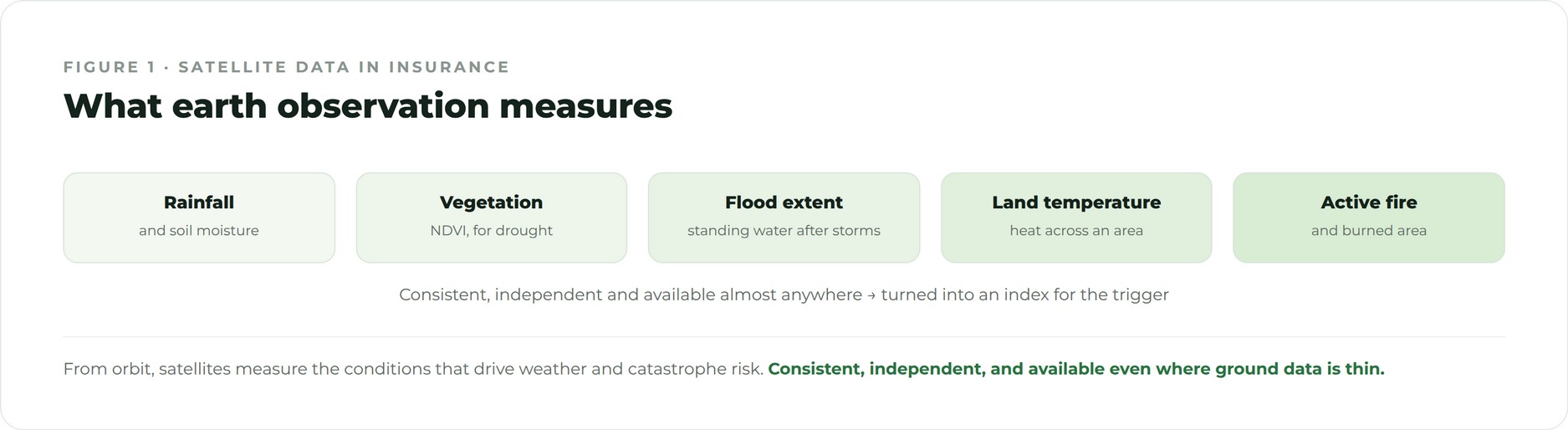
From space, it is possible to observe rainfall, flood extent, vegetation health and land surface temperature consistently, independently and almost anywhere on earth. That makes satellite data a powerful, tamper resistant source for parametric triggers, especially in regions with few ground stations.
This guide explains how satellite data is used in insurance, what it measures, why it suits parametric cover, and the limitations a good structure accounts for.
How satellites are used in insurance
Earth observation satellites capture regular imagery and measurements of the planet, revisiting the same locations on a fixed cycle. For insurance, these observations are turned into indices, for example a vegetation index for drought or a mapped flood extent for a region, which then feed a parametric trigger. Because the same instrument measures the whole area in the same way, satellite data is consistent across locations and over time, which is exactly what a reliable trigger needs.
What satellite data measures
- Rainfall and soil moisture. Estimated from a combination of sensors, useful for drought and flood cover.
- Vegetation health. Indices such as NDVI that track crop and pasture condition for agriculture.
- Flood extent. Mapped standing water after a storm, used for flood triggers.
- Land surface temperature. Heat measured across an area, relevant to heatwave and energy cover.
- Active fire and burned area. Detection used for wildfire triggers.
Why satellite data suits parametric cover
Satellite data is independent, consistent and available even where ground infrastructure is thin, which makes it ideal for index based cover in emerging markets and for large or remote sites. It is difficult to influence, because the measurement is made from orbit by a neutral operator, which protects the integrity of the trigger. And it provides a long, comparable record, since many earth observation programmes have run for decades, giving the history needed to model risk and set thresholds.
Satellite data and the protection gap
One of the most valuable uses of satellite data in insurance is closing the protection gap in regions the traditional market struggles to serve. Where there are few weather stations and limited claims resources, satellite data can still provide a robust, independent measure of drought, flood or heat. That makes it possible to offer cover, often through index based schemes, to farmers, communities and businesses who would otherwise go unprotected. Satellite data has quietly widened the reach of insurance.
The limitations to manage
Satellite data is powerful but not perfect. Each instrument has a resolution and a revisit frequency, so it may not capture very localised or very short lived events precisely. Cloud cover can interfere with some optical measurements. A good structure accounts for these limits, choosing the right product for the risk and, where needed, blending satellite and ground data to keep basis risk low. Understanding both the strengths and the limits of satellite data is what turns it into a dependable trigger.
Key satellite data providers
Several long running earth observation programmes provide the backbone of satellite data used in insurance. Programmes run by public space agencies offer decades of consistent imagery covering rainfall, vegetation, temperature and flood. Their data is independent, openly documented and widely trusted, which is exactly what a parametric trigger needs. Commercial providers add higher resolution or more frequent revisits where a risk demands it. The combination gives structurers a rich set of sources to draw on, and the long archives allow a trigger to be tested against many past events before it is used.
Satellite data in agriculture
Agriculture is where satellite data has had the greatest impact. Vegetation indices such as NDVI track the health of crops and pasture across whole regions, and soil moisture and rainfall estimates capture the onset of drought. Because these measurements cover every field in an area consistently, they make it possible to run index based schemes that protect large numbers of farmers quickly and affordably. In many emerging markets, where ground stations are sparse and individual loss assessment is impractical, satellite data is the only realistic way to offer weather cover at all.